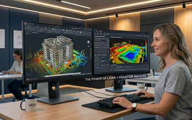
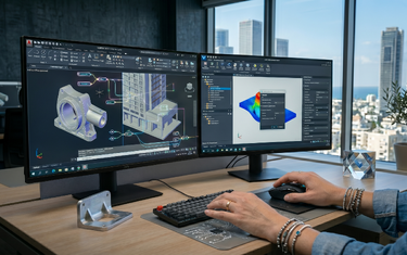
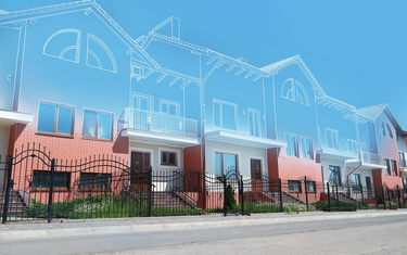
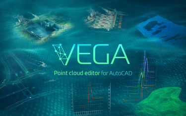
The VEGA blog is where surveyors, engineers, and AutoCAD power users learn how to turn raw point clouds into fast, reliable deliverables, without leaving their familiar CAD environment. Here you’ll find practical workflows, step‑by‑step guides, and real project examples that show how to use VEGA to slice, digitize, model, and analyze scan data with precision and speed. Whether you’re mapping roads, documenting facades, modeling complex 3D solids, or performing cut‑and‑fill analysis, this is your hub for mastering point cloud processing in AutoCAD and leveling up your day‑to‑day work.